The Farlands occupy the western coastal region of Upoceax—a vast stretch of land running nearly 600 miles from north to south. Despite its size, civilization clings only to the southern reaches. The northern two-thirds of the region is empty wilderness: uninhabited mountains, trackless forests, and lonely coastline.
Boundaries and Position
- North: The Troikan Strait separates the Farlands from the Seacliff Coast islands
- East: The Kelder Mountains, continuing south into the Mathavia range
- South: Transitions into Wycendeula
- West: Ocean of Elorinia
The Empty North
The northern Farlands are wilderness. The Sunset Mountains run along the western coast—a jagged, uninhabited range with no passes worth using and no settlements worth supplying. East of the mountains, the Butterfly Forest covers the lowlands, equally empty of permanent habitation.
The only exception is Jeh Bli, a Xi'ivrach orc city-state built on the shores of Lake Kro Nymos. It sits in complete isolation, hundreds of miles from the nearest civilization. Why the orcs settled here, and how they sustain themselves so far from anyone else, are questions the elves to the south have never bothered to answer.
The Troikan Strait to the north is unremarkable—just water separating the Farlands from Ios and the other Seacliff states. There's no meaningful trade through the strait; it's simply not on the way to anywhere.
The Three Elven Kingdoms
Civilization begins south of the Vokas Pendl mountains. Here, three elven polities share the more hospitable terrain, bound together by the Three Kingdoms Treaty signed at Laeroth Esori approximately 4,000 years ago:
Lenora: The agricultural heartland, occupying the fertile lowlands and coastal forests. A Landsmeet council of landholders governs; the kingdom serves as breadbasket for the confederation. Three great rivers—Kilgre Kevi, Kilgre Apnuk, and Kilgre Thovrys—water the territory. Largest population of the three kingdoms (~400,000).
Illron: The southernmost kingdom, following the old ways. Most of Illron's territory is Iyaklomori Grera—a vast forest that belongs to the fae under an ancient treaty. The elves live only on the edges: coastal settlements (A'valenor, Olymethemar, Hassera) connected by road, and eastern settlements (capital Ishla'Anore, E'lethelas) on the forest's margin. Smallest active territory despite considerable nominal borders.
Deo Esari: The mountain kingdom, occupying the Kelder range. Governed by the Titanic Priesthood, keepers of the titan bones buried throughout the peaks. Source of ~95% of the world's titan bone—material so sacred it never leaves the confederation except through defectors. The southern harvesting grounds were abandoned 200 years ago after a contamination disaster.
A fourth elven group, Rakite, occupies the plains northwest of the Kelder Mountains. They follow the buffalo herds, practice a gift-economy distinct from the settled kingdoms, and do not participate in the confederation. Trade with Rakite is formal but friendly.
Key Geographic Features
Forests:
- Elorshianod: Coastal forest of Lenora, settled and worked for timber and river-town life
- Iyaklomori Grera: Sacred forest of Illron, fae territory, no elven settlement permitted
- Amholia Greras: Central forest between all three kingdoms, home to the fae court at Enera Savaci
- Drakwald Forest: Western forest of the Rakite plains, where the grass stops at the treeline and nothing that enters returns
Mountains:
- Vokas Pendl: Northern spur, source of the Kilgre Kevi
- Kelder Mountains: Bracket-shaped range along the eastern edge, titan bone territory
- Mathavia Mountains: Southern extension of the Kelder, including contaminated zones
Rivers (Lenora):
- Kilgre Kevi: Northern river, from Vokas Pendl through Elorshianod to coast
- Kilgre Apnuk: Central river with many tributaries, feeds capital Jien Asari
- Kilgre Thovrys: Southern river, feeds isolated port of Imyena Edhil
Rivers (Illron):
- Kilgre Venora: Northern river, one of two legal travel routes through fae territory
- Ver Ta'Eres: Central river, site of Kilren's Palace
- Ver Suterela: Southern river
The Confederation
The three kingdoms maintain a loose confederation, meeting at Laeroth Esori to coordinate on matters affecting all. The site is neutral ground—geometrically centered between the kingdoms—and has been enchanted over millennia to serve as one of the safest places in the world for diplomatic negotiation.
The confederation operates on a one-kingdom-one-voice principle: each polity sends four representatives (two men, two women) to deliberations. This arrangement favors Illron, which has the smallest population, and frustrates Lenora, which has the largest. Deo Esari typically sides with Illron on matters of tradition.
Rakite exists outside this system entirely. Jeh Bli, to the north, is simply too far away to matter.
Sacred and Dangerous Sites
Laeroth Esori: The confederation meeting ground in Amholia Greras. Enchanted over 4,000 years—truth-binding, memory preservation, violence dampening, weather control. Treaties made here are witnessed by the ancestors. One of the safest places in the world.
Enera Savaci: Heart of Amholia Greras. Home to the fae court and queen of the forest. No trails lead here—70 miles through trackless woods from the nearest settlement. Elves do not visit uninvited.
Kilren's Palace: Ruined fortress in Iyaklomori Grera. Built 3,000 years ago by King Kilren in defiance of the fae treaty. Ten thousand soldiers vanished overnight; the king returned mute and hollow. Contains the finest titan-bone armory ever assembled—untouched, because anyone who enters suffers Kilren's fate or worse.
Imyena Edhil: The City of the Grieving. Southern Lenora, accessible only by river or sea—no roads. Home to elves exiled for forgetting true names. Walled to keep inhabitants in, not enemies out.
The Abandoned Lands
The southern foothills of the Kelder Mountains—Eshbya Hills, Tomgryir Eror, Carya Nairn, Kirthdron Soytas—were abandoned 200 years ago after titan-bone contamination spread through the harvesting villages. The settlements still stand, empty and intact. The priesthood maintains warning markers. No one knows if the contamination has faded.
Kro Shiik
The central lake of Rakite—a long, shallow body of water ("gathering water" in Rakiten) fed by the Ver Pes river and drained toward the eastern coast. Once a year at the autumn equinox, every Rakiten tribe converges here for the convocation: five days of negotiation, marriage-brokering, and dispute resolution by consensus. The Bone Shore on the southeastern bank is considered sacred—a marshy stretch where buffalo have died in winter crossings for generations, their spirits believed to linger. The Roule colonial villages to the east have begun to strain this ancient rhythm; smoke on the horizon at each convocation sharpens the debate between those who would withdraw and those who would fight.
Rivers of Rakite
Three rivers drain the Rakiten plains eastward from the Vokas Enrisikna mountains to the Bejeweled Sea, serving as the closest thing to roads in a land without permanent settlements. Rakiten tradition holds these waterways as open commons: anyone may drink, anyone may cross, but fouling a river is the gravest crime a Rakiten can commit. The Roule colonists' dams and farm runoff violate these laws daily, and the tribes have not yet decided whether to explain or retaliate.
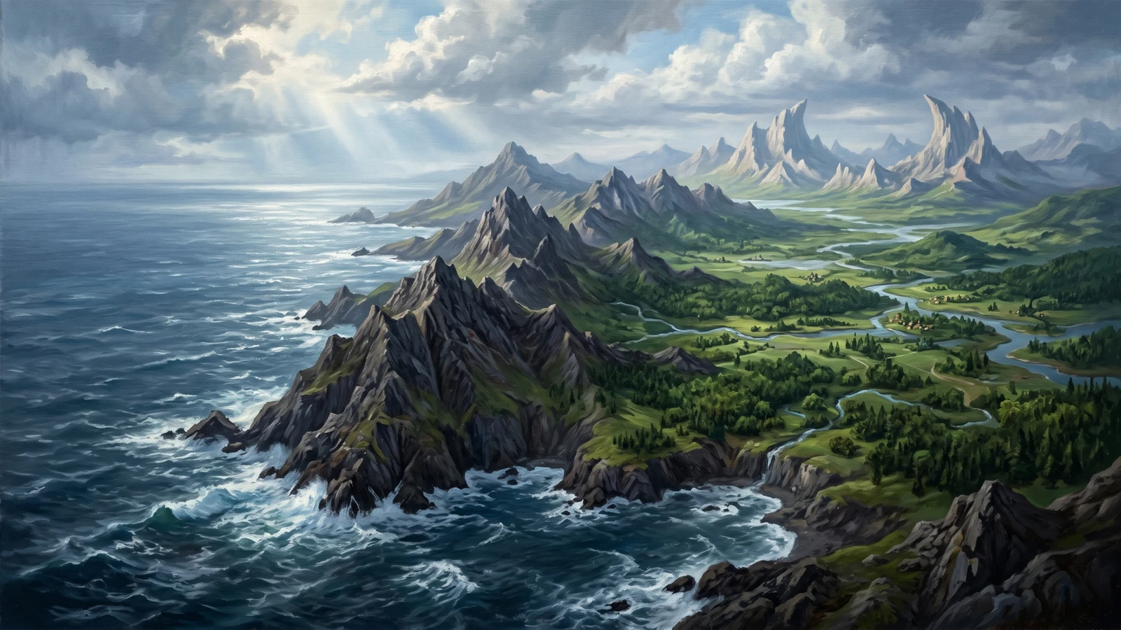
Sunset Mountains
A coastal range running the full western length of the Farlands, separating the interior from the Ocean of Elorinia. Young and vicious—sharp peaks, unstable volcanic slopes, no harbors, no farmland, no passes worth defending. The Jeh Bli orcs hunt the foothills but call the high peaks keth-vorai ("stone that remembers") and avoid them. Pre-elven ruins dot the range's interior—square foundations, carved channels, a roofless complex no expedition has explored and returned from.